Established, productive, sheltered & resilient.
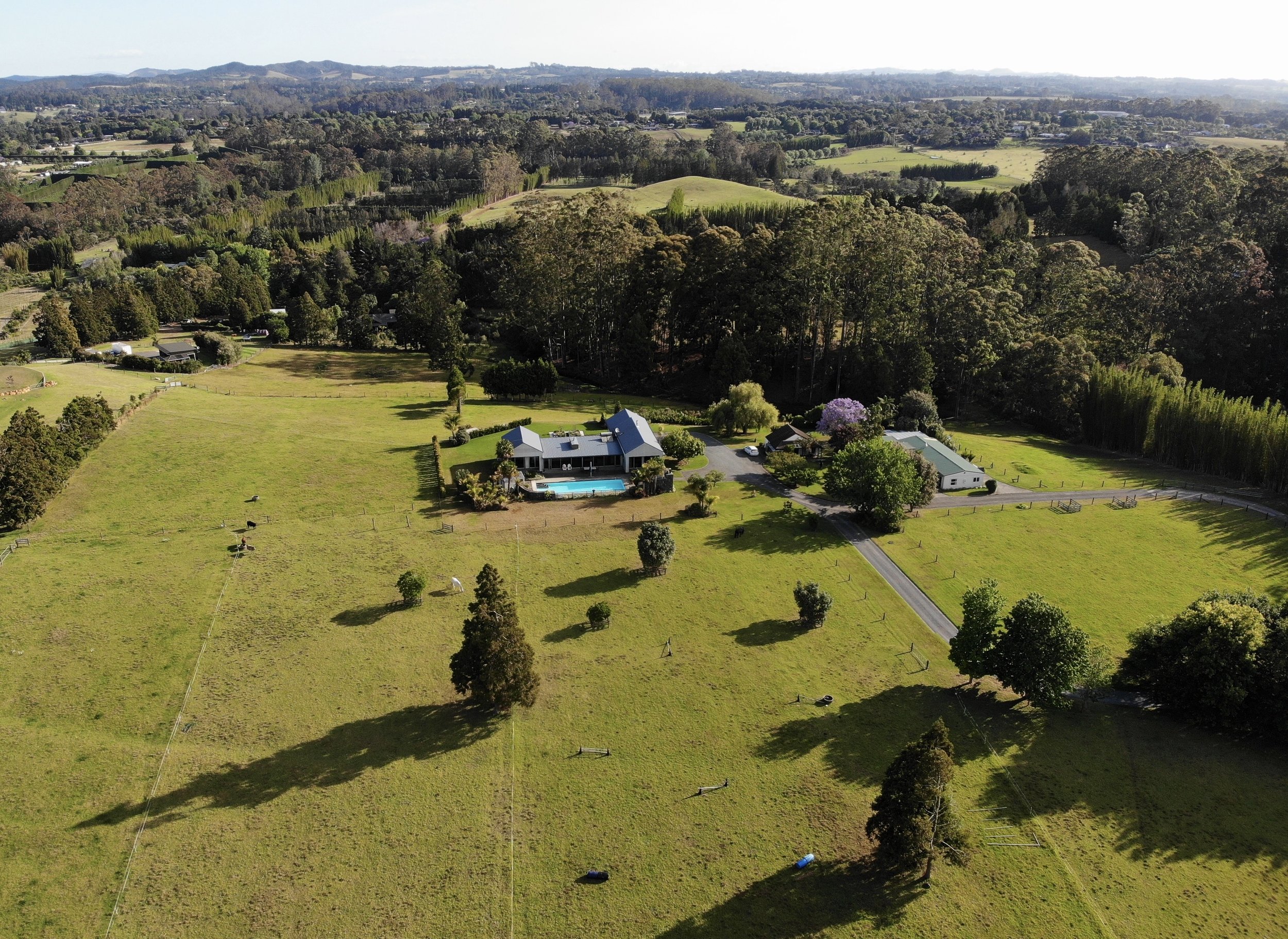
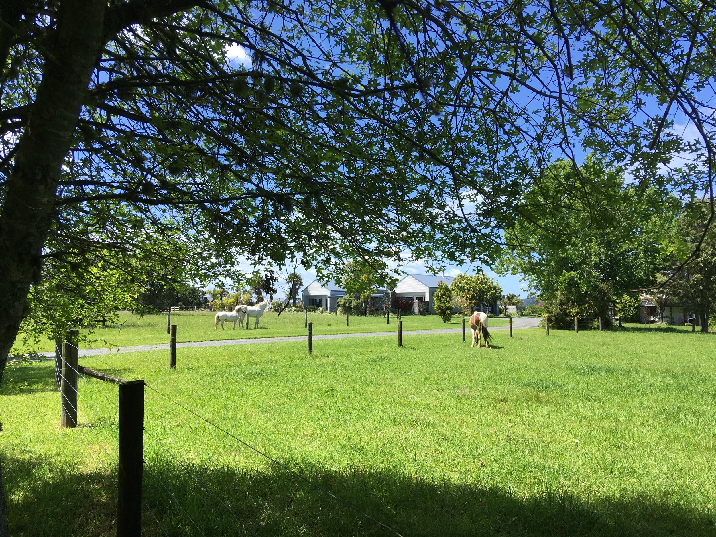
All three buildings are accessed via crushed stone driveways — with reinforced concrete parking areas and borders in the vicinity of the buildings. The property is fenced with post and wire and some post and rail. The four main paddocks are currently further subdivided with relocatable tape fencing into eight grazing areas. All grazing areas have shelter/shade trees and water troughs. An electric fence unit controls hot wires as needed. The entire perimeter boundary has been fully rabbit fenced and this is also helpful for containing dogs. Stock yards and a loading ramp are located adjacent to the main property entrance in the northwest corner at 436 Kapiro Road. A second legal access off Doonside Road forms part of the title and is for the exclusive use of the property.
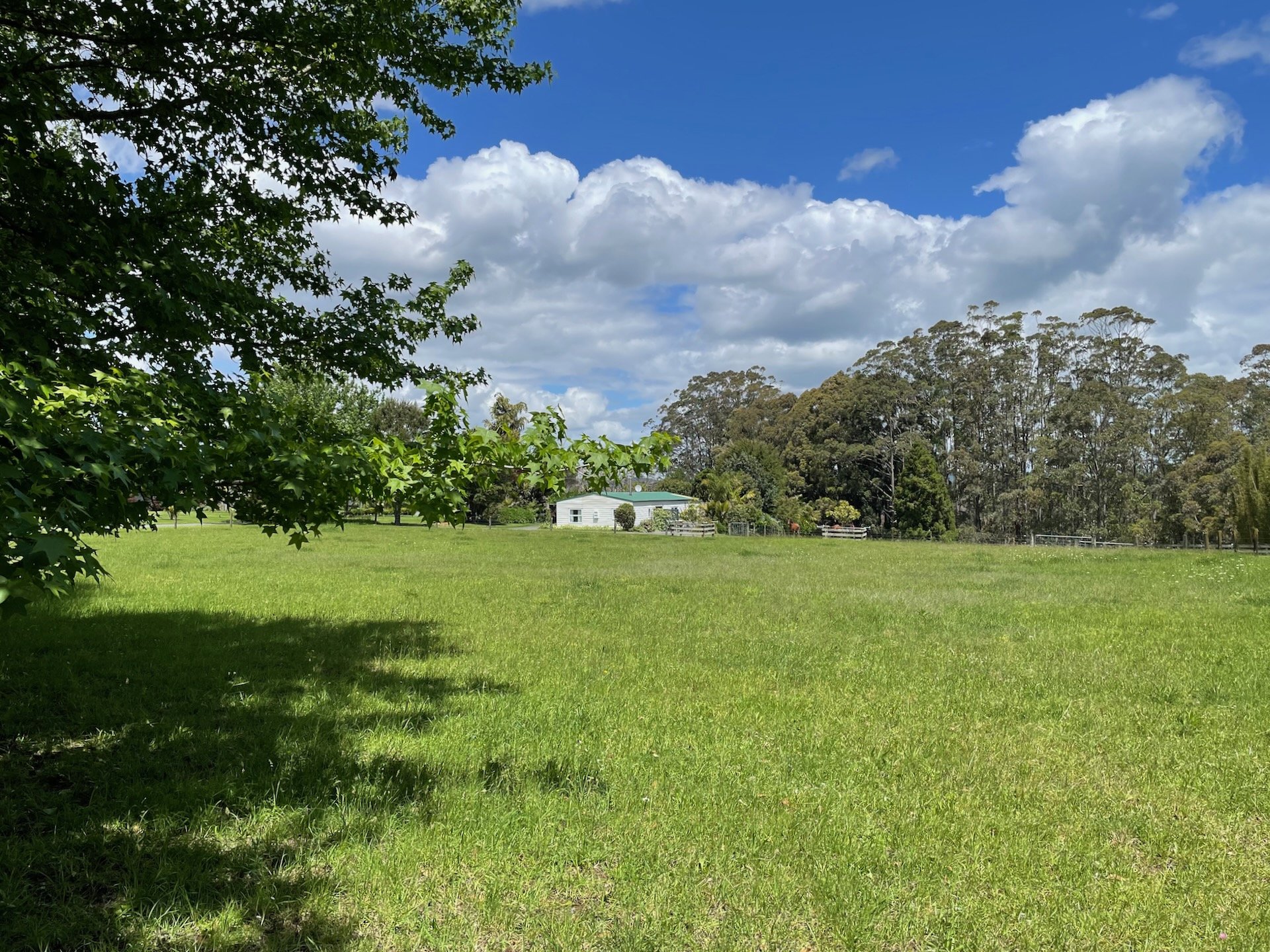
The terrain at the property is mainly flat to gently falling, with a small steeper area to the south planted in Mãnuka. The land is very well drained — aided by the unique soils, terrain and extensive network of formed drainage channels.
From where the house sits, the contour rises gently to the north and east and falls gently to the west. To the south the land drops away — offering expansive views from the living area over the ha-ha wall and Waipapa valley tree canopy to the Waitangi Forest. There is about 120m of open pasture between the house and the shelter hedge on the northern boundary and about 70m of open pasture to the southern boundary.
The grounds are extensively planted with many native trees and shrubs which include Põhutukawa, Puriri, Mãnuka, Five Finger, Tĩ Kõuka and Nĩkau. Mature Liquid Amber, Oak and Maple trees line the main driveway. Other large trees include Jacaranda, Willow, Camelia, Fishtail and Queen palms. The mature giant bamboo hedge along our western boundary is about 4m thick and 15m-20m high and the Cryptomeria Japonica and Tecomaria Capensis hedge that runs along the entire Kapiro Road frontage is about 3m thick and 6m high — providing fantastic privacy and shelter.
The kitchen will be supplied with lemons, oranges, figs and apricots — with plum, nectarine and macadamia trees just starting to contribute. An established kitchen garden bordered with hardwood sleepers is accessed via concrete paths directly from the south of the main house kitchen and produces seasonal fresh vegetables and herbs throughout the year.
The soil is classified by Landcare Research as Nodular Oxidic (very rare and representing <1% of all New Zealand soils) and suitable for cropping, viticulture, berry fruit, pastoralism and tree crops. The property currently has a shareholder commercial water supply from the Kerikeri Irrigation Company, which is reticulated to various water fonts and troughs.
This property represents a smart choice for buyers seeking a healthy family lifestyle and those contemplating equestrian activities, stock grazing or organic food production. It has been spray-free under the current ownership.
In summary
Title 6119984.0132 hectares2 x legal road accessBoundaries peggedNo title interestsLIM summary 18-04-2024


Adverse natural event resilience.
Overall, the quality durable construction of the main home together with property's location, elevation, natural land contours, soil profile, mature shelter belts and drainage infrastructure offer any astute buyer excellent future resilience to climate change and adverse natural events.
A quality home built from durable materials, protection from external elements and resilience against adverse natural events, were all important considerations for us when we purchased the property. The home and the location have exceeded our expectations.
The damaging consequences of adverse weather events such as Cyclone Gabrielle reinforces the advantages of living well away from locations susceptible to coastal erosion, slips, tsunami or flooding inundation risks. The property is located more or less at the apex of an expansive elevated natural land form with the gentle land contours diverting water away from the buildings — supplemented by the network of formed drainage channels. The property high point measured on Google Earth is approximately 52m ASL at the NW corner (43m NE, 39m SW, 41m SE). Northland is the lowest earthquake risk zone in New Zealand.
In summary
Quality architect designed home built with durable materialsLowest earthquake risk zone in New ZealandLocated circa 2.5km from the Kerikeri Inlet (at Skudders Beach)Between circa 39m-52m elevation above seal levelLocated at the crest of a wide elevated natural land form with falls and drainage away from all buildingsNetwork of concrete and other formed stormwater diversion channelsFree-draining (very rare) volcanic soilsMature hedge row shelter belts